
Contracts
We manage all types of construction and engineering contracts. From tendering to execution, we ensure proper documentation and smooth coordination at every stage.
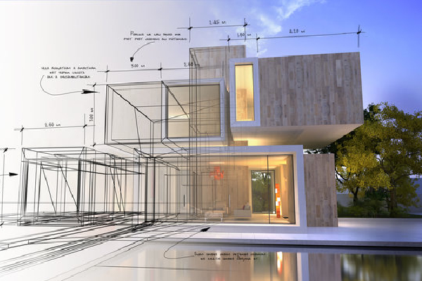
Architectural Design
We offer creative and practical architectural solutions tailored to your needs. Designs follow aesthetic and functional standards and comply with regulations.
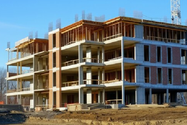
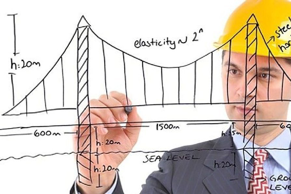
Structural Design
Our structural engineers ensure stability, durability and safety. We design efficient load-bearing elements and consult on third-party structural plans.
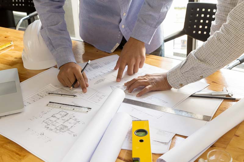
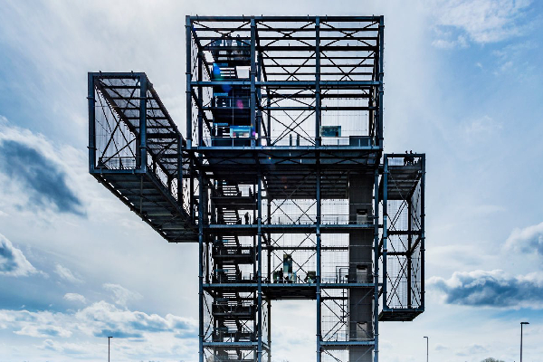
Project Management
We handle your project from planning to delivery, ensuring timelines, budget and quality. Our team monitors every phase with transparency and professionalism.
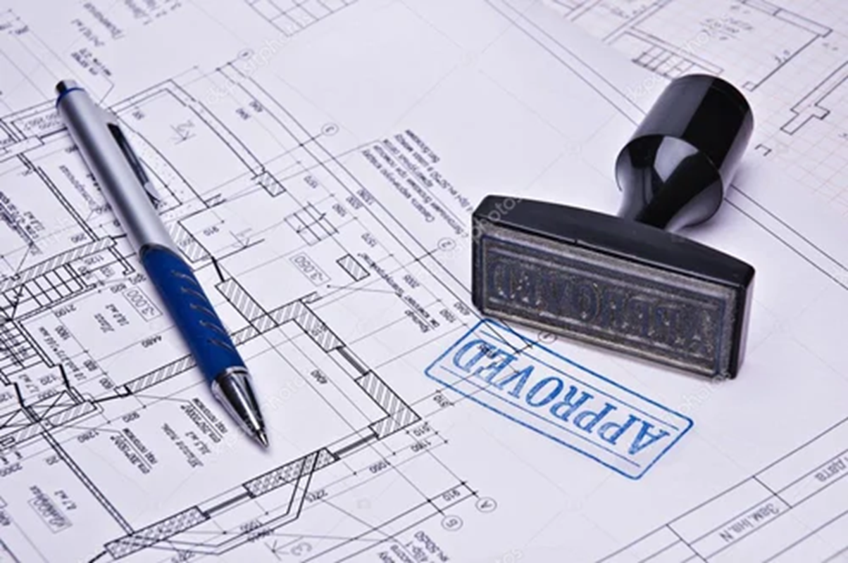
Plan & Approvals
We assist in preparing drawings and obtaining approvals from local authorities. We ensure regulatory compliance and coordinate all documentation smoothly.

Estimation & Valuation
Our experts provide accurate cost estimates and valuation for land, buildings and projects. All reports are detailed and meet financial and legal standards.

Chartered Engineering
We issue Chartered Engineer Certificates (CEC) required for customs, foreign approvals and certifications. Fast, valid and institution-approved documentation.
Structural Stability Investigation
We inspect buildings to ensure structural integrity and issue certificates. Useful for old buildings, renovations, or government submissions.
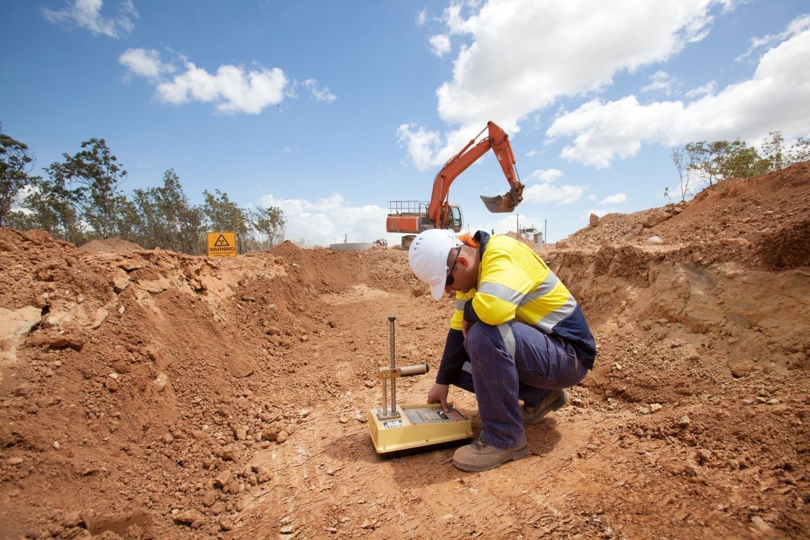
Soil Investigation
We analyze soil properties to aid in foundation and structural design. Tests include bearing capacity, water table and geotechnical parameters.
Proof Checking of Designs
We cross-check designs from external architects and engineers for safety, compliance and optimization. Recommendations are provided where required.
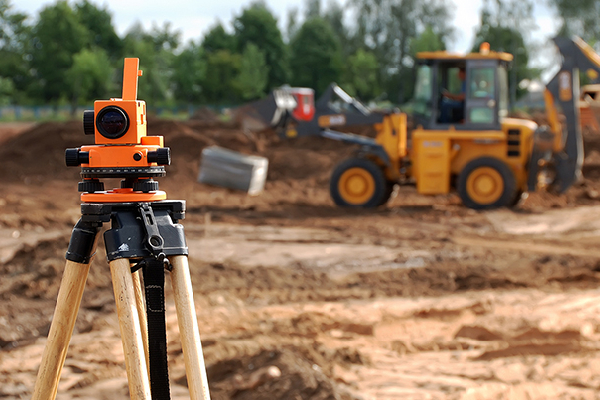
Land Survey
We offer traditional surveying services using total stations, GPS and levels. Boundaries, area markings and layout planning done with high accuracy.

Digital Survey
Using LiDAR, drone and satellite tools, we generate digital terrain models and 3D layouts. Great for large-scale, infrastructure and planning projects.
Fill out the form and our manager will contact you for consultation.